Exploring Political Maps
A Grade 1 social studies worksheet to introduce students to political maps, continents, and countries.
Includes
Multiple ChoiceFill in the BlanksTrue / FalseShort Answer
Topics
SS.1.G.1.1SS.1.G.1.2political mapsgeographygrade 1social studiescontinentscountries
6 sections · Free to use · Printable
Exploring Political Maps
Name:
Date:
Score:
Read each question carefully and answer to the best of your ability. A political map shows countries, states, and cities.
1. What does a political map usually show?
a
Mountains and rivers
b
Countries and borders
c
Trees and animals
d
Weather patterns
2. How many continents are there on Earth?
a
3
b
5
c
7
d
10
3. A political map shows the between countries.
4. The largest continent is .
5. All maps look exactly the same.
T
True
F
False
6. Political maps use different colors to show different countries.
T
True
F
False
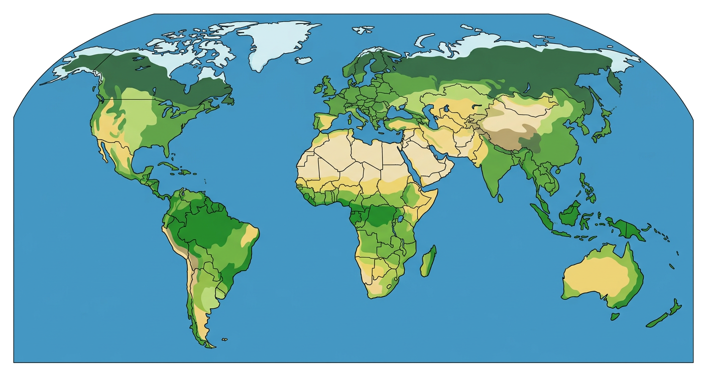
7. Look at the map below. Can you find your country? What is its name?