Boundary Exploration: Political Geography
This worksheet explores concepts related to political boundaries, their formation, types, and impacts on global relations.
Includes
Standards
Topics
Boundary Exploration: Political Geography
Name:
Date:
Score:
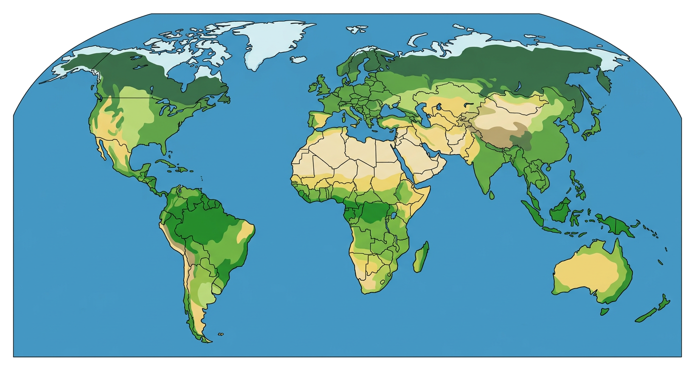
Read each question carefully and provide thoughtful answers. Use the provided world map for reference where applicable.
World Political Map
1. Which of the following best defines a 'frontier' in political geography?
A precisely demarcated line separating two political entities.
A zone where no state exercises complete political control.
The boundary of a nation's exclusive economic zone.
A natural barrier like a mountain range or river.
2. A boundary is one that is drawn to accommodate existing religious, linguistic, or ethnic differences.
3. The concept of refers to the supreme authority of a state within its own territorial boundaries.
4. Explain the difference between a 'physical boundary' and a 'cultural boundary', providing an example for each.
5. Subsequent boundaries are typically established before the area is settled by humans.
True
False
Match each boundary type with its description.
6. Antecedent Boundary
a. Boundary drawn after cultural landscape is established.
7. Superimposed Boundary
b. Boundary drawn before significant human settlement.
8. Relict Boundary
c. Boundary forced upon a landscape by an outside power.
9. Subsequent Boundary
d. A former boundary that no longer functions but is still visible.
10. Discuss how the concept of 'devolution' can impact the stability of national boundaries.