Understanding Map Projections
This worksheet covers various aspects of map projections, their types, distortions, and uses for Grade 10 Social Studies students.
Includes
Topics
Understanding Map Projections
Name:
Date:
Score:
Read each question carefully and provide your best answer based on your knowledge of map projections.
1. Which type of map projection is best for navigation because it shows true direction as straight lines?
Mercator Projection
Robinson Projection
Goode Homolosine Projection
Gall-Peters Projection
2. All map projections inevitably result in some form of distortion. Which of the following is NOT a type of distortion commonly found on maps?
Shape
Area
Distance
Color
1. A globe is a perfect representation of the Earth and has no distortions.
True
False
2. Conic projections are created by placing a cone over the globe and projecting features onto it.
True
False
1. A projection attempts to balance distortions of shape, area, distance, and direction, making it a good compromise.
2. projections are often used for mapping polar regions because they show true shape and direction from a central point.
1. Explain why it is impossible to create a perfectly accurate 2D map of the Earth.
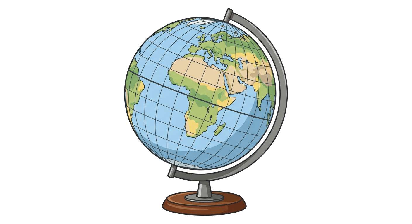
2. Describe one advantage and one disadvantage of using a Mercator projection.
Match each term with its correct definition.
1. Equidistant Projection
a. Preserves area, distorting shape.
2. Conformal Projection
b. Preserves distance from a central point.
3. Equal-Area Projection
c. Preserves shape, distorting area.