Boundary Exploration in Social Studies
This worksheet explores concepts of boundary exploration, its historical significance, and its impact on global geography and politics.
Includes
Standards
Topics
Boundary Exploration in Social Studies
Name:
Date:
Score:
Read each question carefully and provide thoughtful answers based on your knowledge of boundary exploration.
1. Which of the following best defines the concept of 'boundary exploration' in a historical context?
The study of political maps and their evolution.
The process of discovering, mapping, and claiming new territories.
The negotiation of treaties between nations.
The establishment of trade routes.
2. The 'Scramble for Africa' in the late 19th century is an example of:
peaceful international cooperation.
intensive boundary exploration and partitioning.
the development of indigenous governance.
cultural exchange and integration.
3. The primary motivation for many European powers during the Age of Exploration was to discover new and establish colonial empires.
4. Geographic features such as mountains and rivers often served as natural in early human societies.
5. Explain how advancements in navigation technology, such as the compass and astrolabe, facilitated boundary exploration.
6. Discuss the long-term impact of colonial boundary drawing on the political stability and ethnic composition of post-colonial nations.
7. The Treaty of Tordesillas (1494) was an agreement that divided newly discovered lands outside Europe between Portugal and Spain.
True
False
8. Modern boundary disputes are exclusively resolved through military conflict.
True
False
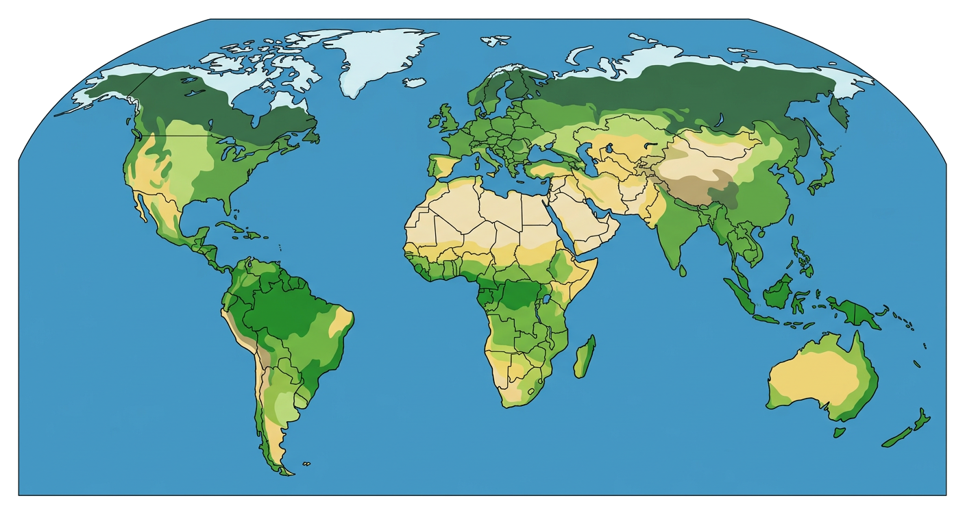
9. Observe the world map below. Identify two continents that experienced significant boundary exploration and redrawing during the Age of Imperialism, and briefly explain why.