Meridians and Parallels Worksheet
Explore the fundamental concepts of meridians (lines of longitude) and parallels (lines of latitude) and their importance in geographical positioning and time zones.
Includes
Topics
Meridians and Parallels
Name:
Date:
Score:
Read each question carefully and answer to the best of your ability. Refer to your knowledge of meridians and parallels to complete the tasks.
1. Which of the following best describes lines of longitude?
Lines that run east to west, parallel to the Equator.
Lines that run north to south, converging at the poles.
Lines that mark the boundaries of time zones.
Lines that measure distance from the Prime Meridian.
2. The Tropic of Cancer and Tropic of Capricorn are examples of:
Meridians
Parallels
Great Circles
Time Zones
1. The imaginary line that divides the Earth into the Northern and Southern Hemispheres is called the .
2. All lines of longitude meet at the and the .
3. The Prime Meridian passes through , England.
1. All parallels are of equal length.
True
False
2. Meridians are used to determine time zones.
True
False
1. Explain the difference between a great circle and a small circle, providing an example of each in relation to meridians and parallels.
2. How do meridians help in calculating the local time of a place?
Observe the map below and answer the following questions.
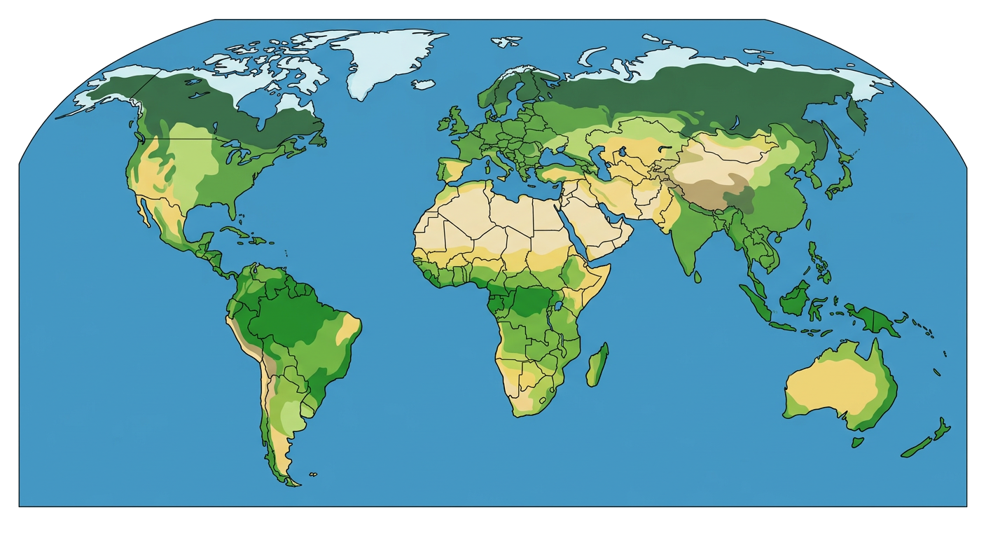
1. Identify and label the Equator and the Prime Meridian on the map.
2. Approximately what latitude and longitude coordinates would you assign to the center of North America?