North America Historical Maps Worksheet
Explore the historical evolution of North American maps and their significance in understanding historical events and territorial changes.
Includes
Standards
Topics
North America Historical Maps: A Journey Through Time
Name:
Date:
Score:
Read each question carefully and provide thoughtful answers based on your knowledge of North American historical maps.
1. Which of the following best describes the primary purpose of early European maps of North America?
To accurately depict indigenous settlements and cultures.
To guide exploration and claim new territories.
To serve as artistic interpretations of the landscape.
To document the flora and fauna of the continent.
2. The 'Myth of the Northwest Passage' significantly influenced early mapping efforts in North America by:
Discouraging further exploration due to perceived dangers.
Promoting the belief in a direct water route to Asia, leading to extensive searching.
Focusing mapping efforts solely on the southern regions of the continent.
Emphasizing the importance of inland river systems for transportation.
3. The Treaty of in 1763 significantly altered the political map of North America, transferring vast territories from France to Great Britain.
4. The concept of played a crucial role in the westward expansion of the United States, as depicted in many 19th-century maps.
5. Analyze how the inclusion of indigenous place names on historical maps can provide insights into pre-colonial North America.
6. Discuss the impact of technological advancements (e.g., printing press, surveying tools) on the accuracy and dissemination of North American maps over time.
7. Early European maps of North America were always accurate representations of the continent's geography.
True
False
8. The Louisiana Purchase (1803) significantly expanded the territorial claims of the United States on existing maps.
True
False
Examine the historical map below:
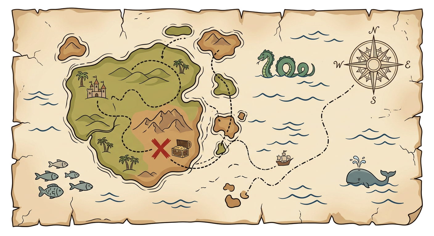
9. Based on the style and content of the map, what historical period or type of cartography does it most likely represent?
Match the historical event or concept with its impact on North American mapping.
1. Lewis and Clark Expedition
a. Established a new international border along the 49th parallel.
2. Treaty of Ghent (1814)
b. Provided detailed maps of the newly acquired Louisiana Territory.
3. Oregon Treaty (1846)
c. Ended the War of 1812, restoring pre-war boundaries.