Geographical Boundaries Worksheet
Explore the concepts, types, and implications of geographical boundaries on political, social, and economic landscapes at a Grade 12 level.
Includes
Standards
Topics
Geographical Boundaries: A Comprehensive Study
Name:
Date:
Score:
Read each question carefully and provide thoughtful, detailed answers. Utilize your knowledge of geographical boundaries and their impact on global affairs.
1. Which of the following is an example of a superimposed boundary?
The border between France and Spain, following the Pyrenees Mountains.
The border between North and South Korea, established after World War II.
The border between the United States and Canada, largely based on parallels of latitude.
The border between India and Bangladesh, largely shaped by cultural and linguistic divisions.
2. What is the primary characteristic of an antecedent boundary?
It is established after the settlement of an area, often reflecting cultural landscapes.
It is drawn by an outside power without regard for existing cultural patterns.
It existed before the development of a cultural landscape.
It is a boundary that has ceased to function but whose imprint is still visible on the cultural landscape.
3. The process of redrawing electoral boundaries to give one political party an unfair advantage is known as .
4. A boundary that is established after the settlement of an area, often reflecting existing cultural patterns, is called a boundary.
5. Explain the difference between a definitional boundary dispute and a locational boundary dispute.
6. Discuss how physical geographical features can act as natural boundaries and provide two examples.
7. Relic boundaries are still functional and actively enforced.
True
False
8. The Berlin Wall is an example of a subsequent boundary.
True
False
Match each term with its correct definition.
9. Geometric Boundary
a. A boundary that follows a straight line or arc, often latitude/longitude.
10. Consequent Boundary
b. A boundary that is drawn to accommodate existing differences between groups.
11. Operational Dispute
c. A dispute over the way a border should function or be administered.
Use the map below to answer the following question.
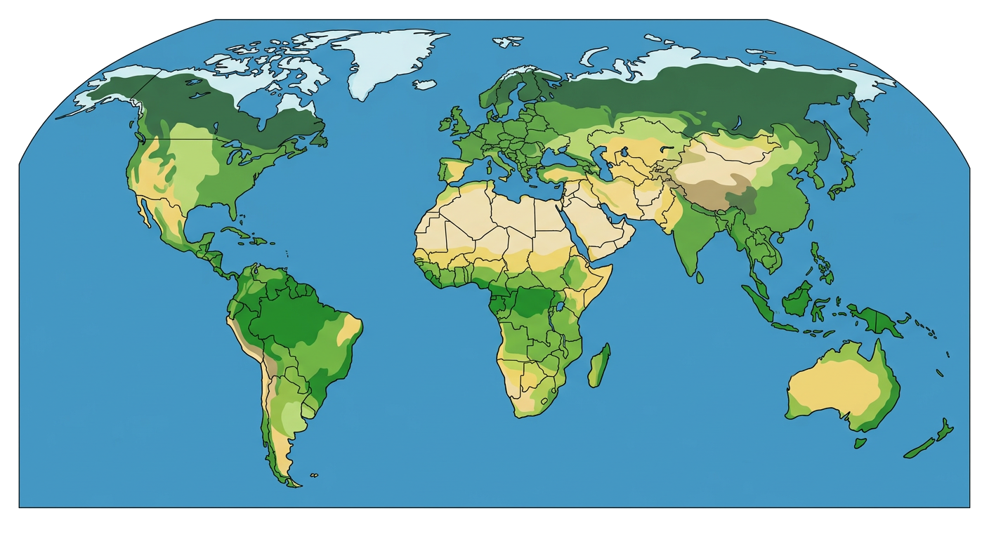
12. Identify and describe one significant geopolitical issue that has arisen from a geographical boundary shown or implied on the map. Explain the type of boundary involved and the nature of the conflict.