Political Maps Exploration
A Grade 2 Social Studies worksheet to introduce students to political maps, continents, and countries.
Includes
Topics
Political Maps Exploration
Name:
Date:
Score:
Read each question carefully and answer to the best of your ability. A political map shows the boundaries between countries, states, or cities.
What is a Political Map?
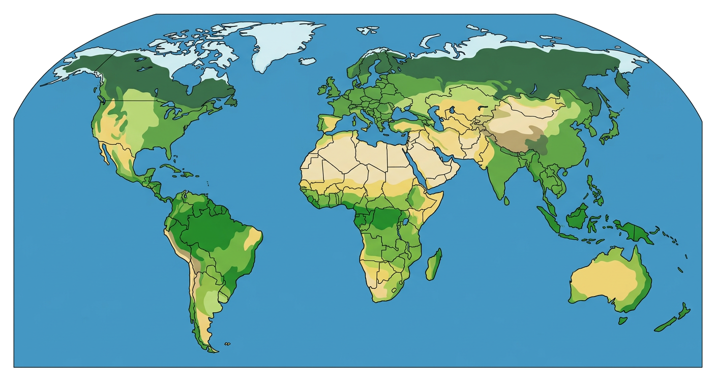
This is a political map of the world. It shows different countries with different colors.
1. A political map shows the between countries.
2. On a political map, different are often shown with different colors.
3. What can you usually find on a political map?
Mountains and rivers
Country borders
Types of plants
Weather patterns
4. What is one thing a political map helps us see?
5. A political map tells us where the tallest mountains are.
True
False
Related Worksheets
My State Facts Worksheet
A Grade 2 Social Studies worksheet to learn basic facts about states, including capital cities, state birds, and flowers.
Map Components Worksheet
A worksheet for 2nd graders to learn about basic map components like compass rose, legend, and scale.
Landforms Exploration
A worksheet for Grade 2 students to learn about different types of landforms, their characteristics, and how to identify them.
Rocks and Minerals
Explore the fascinating world of rocks and minerals with this engaging worksheet designed for second graders. Learn about different types of rocks, their properties, and how they are used.
Capital Cities Explorer
Explore capital cities with this fun and educational worksheet for Grade 2 social studies.
Exploring Physical Maps
A worksheet for Grade 2 students to learn about physical maps, identifying landforms and water bodies.
Exploring State Maps
A Grade 2 Social Studies worksheet to help students learn about state maps, including identifying states, capitals, and understanding map symbols.
Exploring the World Map
A Grade 2 social studies worksheet to introduce students to the world map, continents, and oceans.