Understanding Political Maps
A worksheet for 3rd graders to learn about political maps, including continents, countries, and capitals.
Includes
Topics
Understanding Political Maps
Name:
Date:
Score:
Read each question carefully and answer to the best of your ability. This worksheet will help you learn about political maps.
A political map shows borders between countries, states, and cities. It also shows the names of these places and their capital cities. Political maps use different colors to show the different countries.
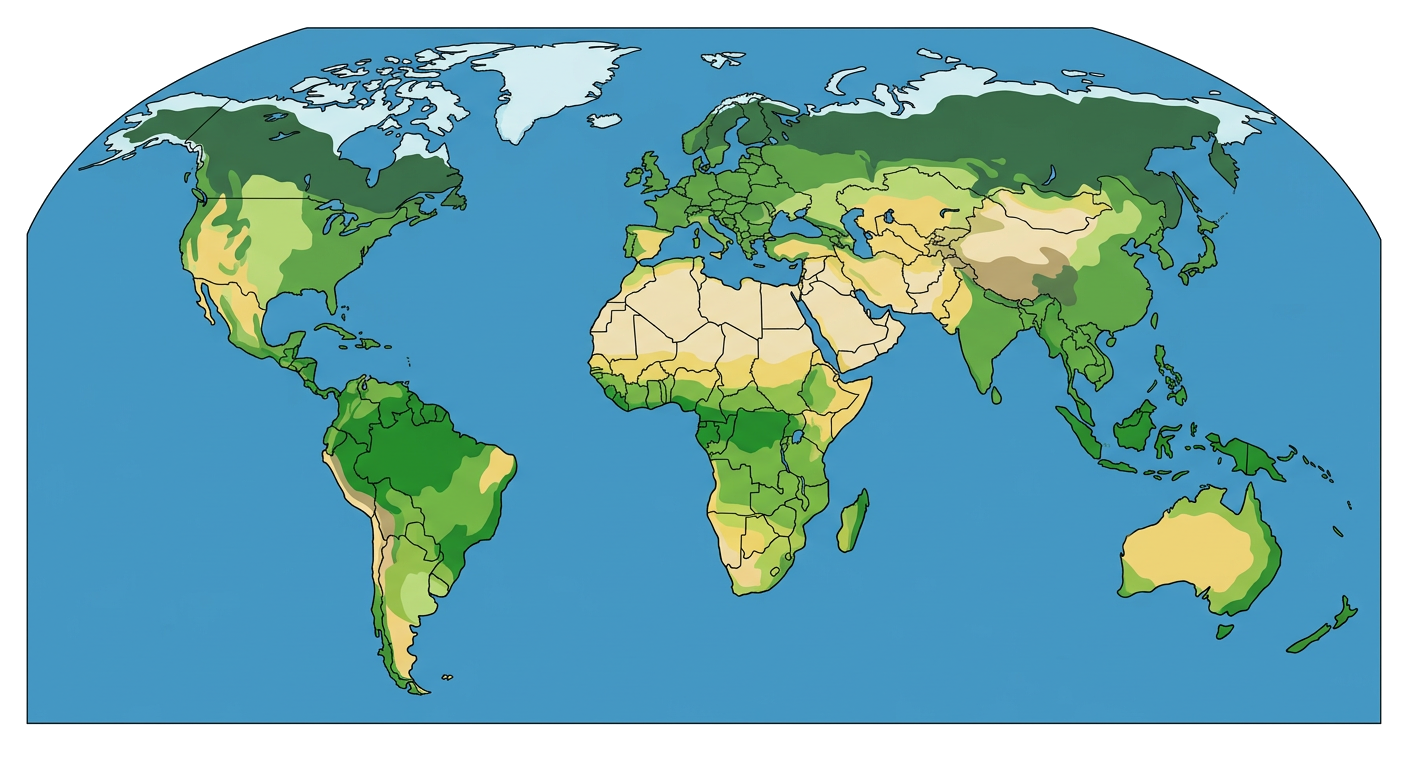
1. What does a political map typically show?
Mountains and rivers
Borders between countries
Types of weather
Roads and highways
2. What do different colors on a political map usually represent?
Different types of land
Different oceans
Different countries
Different animals
3. A political map helps us find the of different countries.
4. The imaginary line that separates one country from another is called a .
5. Political maps usually show mountains and rivers.
True
False
6. The capital city of a country is often marked on a political map.
True
False
7. Name two things you can find on a political map.
Use the words below to complete the sentences.
8. Political maps show the names of different .
9. The lines that separate states or countries are called .
10. The main city of a country is called its city.