Understanding Map Projections
This worksheet introduces 7th-grade students to different types of map projections and their distortions, aligning with geography standards.
Includes
Topics
Understanding Map Projections
Name:
Date:
Score:
Read each question carefully and answer to the best of your ability. Use complete sentences for short answer questions.
1. What is the main challenge cartographers face when creating a flat map of the Earth?
Finding enough ink for the map
Representing a 3D sphere on a 2D surface without distortion
Making the map small enough to carry
Choosing the right colors for land and water
2. Which type of map projection accurately shows the shapes of landmasses but distorts their size, especially near the poles?
Mercator Projection
Goode Homolosine Projection
Robinson Projection
Dymaxion Map
3. A map projection is a method of representing the curved surface of the Earth on a flat .
4. All maps have some form of , which means that shapes, sizes, distances, or directions can be inaccurate.
5. The Mercator projection is ideal for showing the true size of continents.
True
False
6. A globe is the most accurate representation of the Earth.
True
False
7. Explain why different map projections are used for different purposes.
8. Describe one advantage and one disadvantage of the Mercator projection.
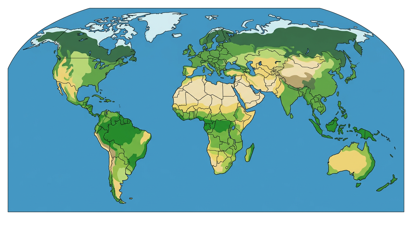
Observe the world map below and consider the distortions present.