Understanding Map Scale
A Grade 7 social studies worksheet to help students understand and apply map scales to calculate real-world distances.
Includes
Topics
Understanding Map Scale
Name:
Date:
Score:
Read each question carefully and answer to the best of your ability. Use the provided map scale information to calculate real-world distances.
1. A map scale is a ratio that compares a distance on a map to a distance in the .
2. There are three types of map scales: verbal, graphic, and .
3. A graphic scale is often represented by a bar.
1. If a map has a scale of 1:100,000, what does 1 cm on the map represent in real life?
100 meters
1 kilometer
10 kilometers
100 kilometers
2. Which type of map scale uses a written statement like "1 inch equals 10 miles"?
Ratio scale
Graphic scale
Verbal scale
Fractional scale
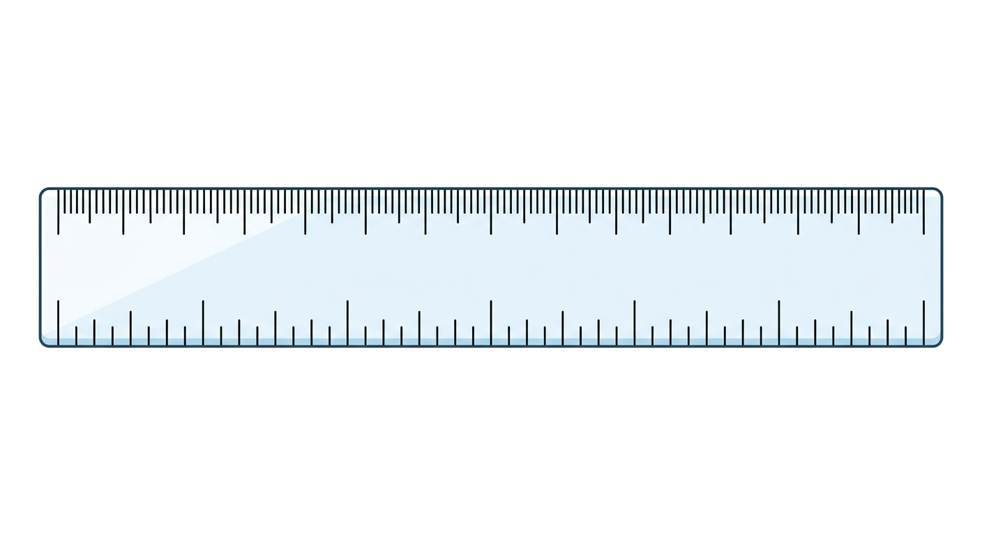
1. On a map, the distance between two cities is 5 cm. If the map scale is 1:50,000, what is the actual distance between the cities in kilometers?
2. A graphic scale shows that 1 inch represents 20 miles. If two towns are 3 inches apart on the map, what is the real-world distance between them?
1. A large-scale map shows a small area with a lot of detail.
True
False
2. A small-scale map is used to show a large area like an entire continent.
True
False
Match each description on the left with the correct type of map scale on the right.
1. Expressed as a fraction or ratio (e.g., 1:24,000)
a. Verbal Scale
2. Uses a written statement (e.g., 1 cm = 10 km)
b. Graphic Scale
3. Depicted as a bar with marked distances
c. Representative Fraction (Ratio) Scale
Why is understanding map scale important for geographers and anyone who uses maps regularly?