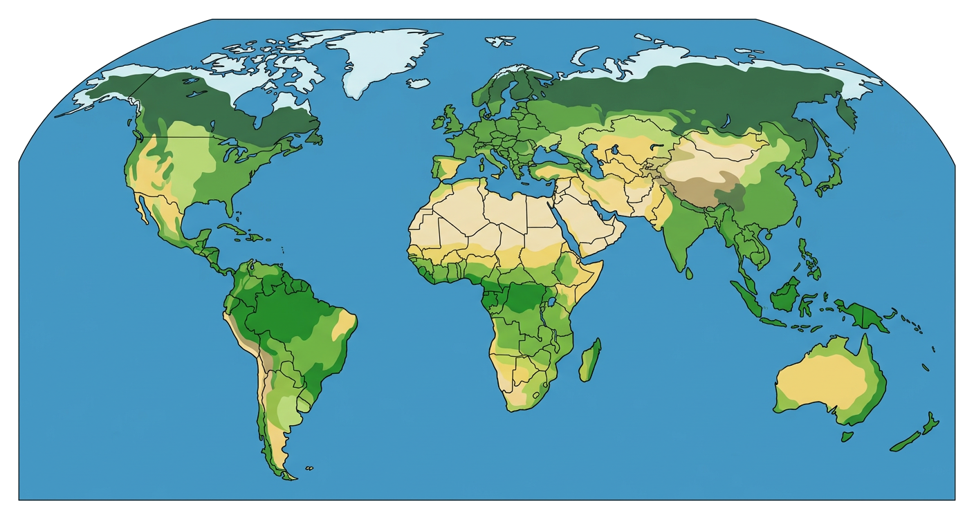
Understanding Time Zones
A Grade 7 social studies worksheet to help students understand time zones, prime meridian, and international date line.
Includes
Standards
Topics
Understanding Time Zones
Name:
Date:
Score:
Read each question carefully and answer to the best of your ability. Some questions may require you to refer to a world map or your knowledge of time zones.
1. How many degrees of longitude generally represent one time zone?
5 degrees
10 degrees
15 degrees
30 degrees
2. What is the name of the imaginary line that runs through Greenwich, England, and serves as the reference point for time zones?
Equator
International Date Line
Prime Meridian
Tropic of Cancer
3. The Earth rotates degrees in 24 hours.
4. Moving eastward across the International Date Line means you a day.
5. Daylight Saving Time is a practice of advancing clocks during warmer months so that evening daylight lasts .
6. All countries observe time zones that are exact multiples of one hour.
True
False
7. The International Date Line is a straight line that perfectly follows the 180-degree longitude.
True
False
8. Explain why time zones were created and what problem they solved.
9. Refer to the world map below showing time zones. If it is 10:00 AM on Tuesday in London (GMT), what time and day is it in New York City (GMT-5)?