Meridians and Parallels Worksheet
Explore the concepts of meridians (lines of longitude) and parallels (lines of latitude) and their importance in geography for Grade 8 students.
Includes
Topics
Meridians and Parallels: Understanding Earth's Grid System
Name:
Date:
Score:
Read each question carefully and answer to the best of your ability. This worksheet will test your knowledge of meridians and parallels, the imaginary lines that form a grid system on Earth.
1. What are the imaginary lines that run east and west, parallel to the Equator, called?
Meridians
Longitudes
Parallels
Prime Meridians
2. The Prime Meridian passes through which famous observatory?
Mount Wilson Observatory
Greenwich Observatory
Palomar Observatory
Mauna Kea Observatory
3. The imaginary line that divides the Earth into the Northern and Southern Hemispheres is called the .
4. Lines of longitude are also known as .
5. The maximum degree of latitude is degrees.
6. All meridians are equal in length.
True
False
7. Parallels measure distance east or west of the Prime Meridian.
True
False
8. Explain the difference between latitude and longitude.
9. Why is the grid system of meridians and parallels important for navigation?
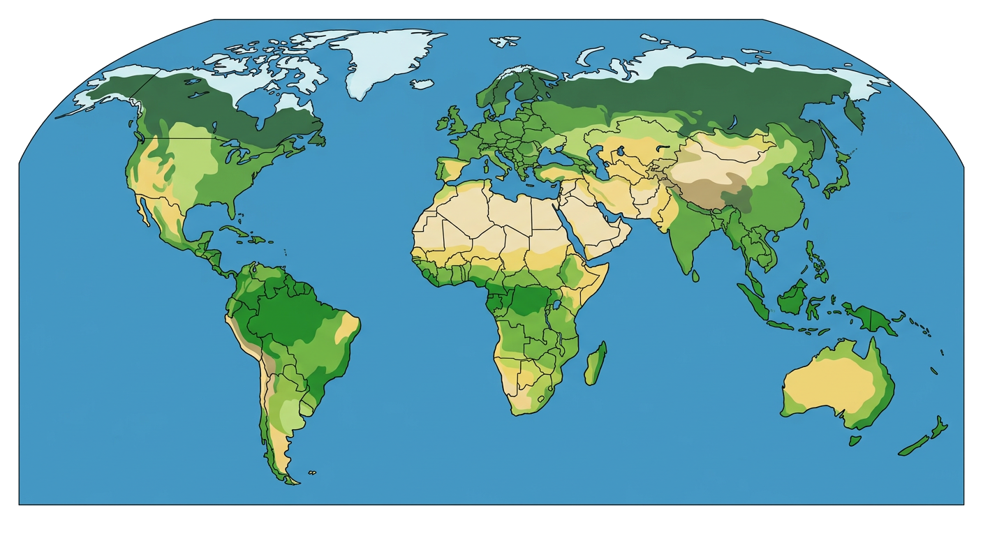
10. Observe the image below showing a world map. Identify and label the Equator and the Prime Meridian. Also, draw at least two other parallels and two other meridians and label them with approximate degrees.