North America Historical Maps Worksheet
Explore historical maps of North America to understand territorial changes, colonial expansion, and significant geographical features impacting history.
Includes
Standards
Topics
North America Historical Maps
Name:
Date:
Score:
Read each question carefully and provide your best answer based on your knowledge of North American historical maps and geography.
1. Which European country primarily controlled the territory of present-day Canada and the Louisiana Purchase area before 1763?
Great Britain
Spain
France
Portugal
2. The 'Manifest Destiny' concept in the 19th century led to the expansion of the United States towards which ocean?
Atlantic Ocean
Pacific Ocean
Indian Ocean
Arctic Ocean
1. The purchase of the from France in 1803 significantly doubled the size of the United States.
2. Early maps of North America often showed indigenous territories that were later divided by European .
1. Describe two ways historical maps of North America can help us understand the impact of European colonization.
1. The original 13 colonies of British North America were all located along the Pacific coast.
True
False
2. The Treaty of Paris (1783) officially recognized the independence of the United States and established its western boundary at the Mississippi River.
True
False
Analyze the historical map below and answer the question.
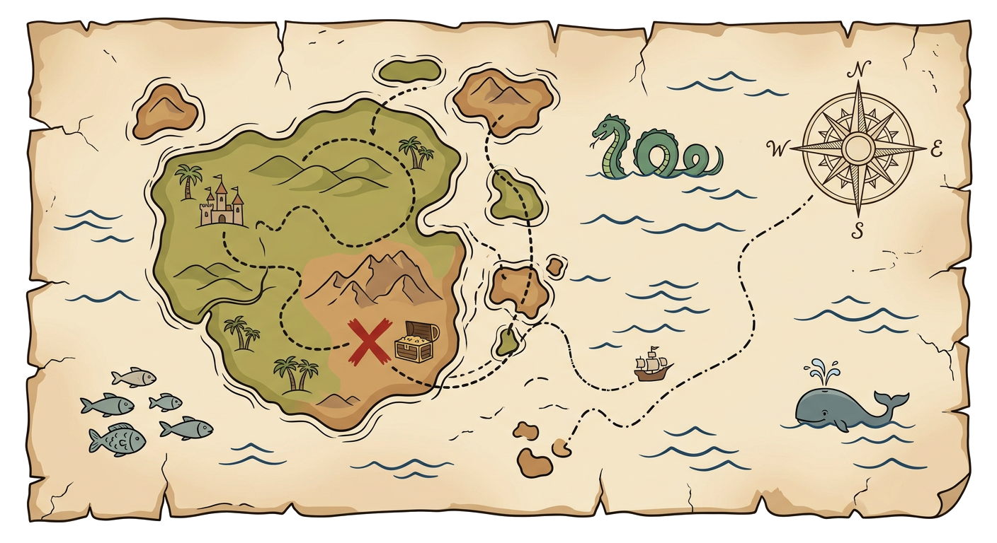
1. Based on the style and content (assuming it represents an early period), what might be a significant challenge for cartographers when creating such a map of unfamiliar territory?