Geographical Boundaries Worksheet
Explore the concepts of geographical boundaries, their types, and their impact on human societies and international relations.
Includes
Standards
Topics
Geographical Boundaries
Name:
Date:
Score:
Read each question carefully and answer to the best of your ability. Use complete sentences when necessary.
1. Which of the following is an example of a physical boundary?
The border between US states defined by a parallel.
The Great Wall of China.
The Andes Mountains forming a boundary between Chile and Argentina.
A ceasefire line established after a conflict.
2. What is the primary characteristic of a geometric boundary?
It follows cultural lines.
It is based on physical features.
It is drawn using meridians or parallels.
It divides ethnic groups.
3. A(n) boundary is drawn before the area is well populated.
4. The concept of refers to the legal right of a government to exercise authority over its territory.
5. A relict boundary is one that no longer functions but can still be detected on the cultural landscape.
True
False
6. The Berlin Wall was an example of a superimposed boundary.
True
False
7. Explain the difference between antecedent and subsequent boundaries, providing an example for each.
8. Discuss how geographical boundaries can lead to both cooperation and conflict between nations.
Examine the world map below and answer the question.
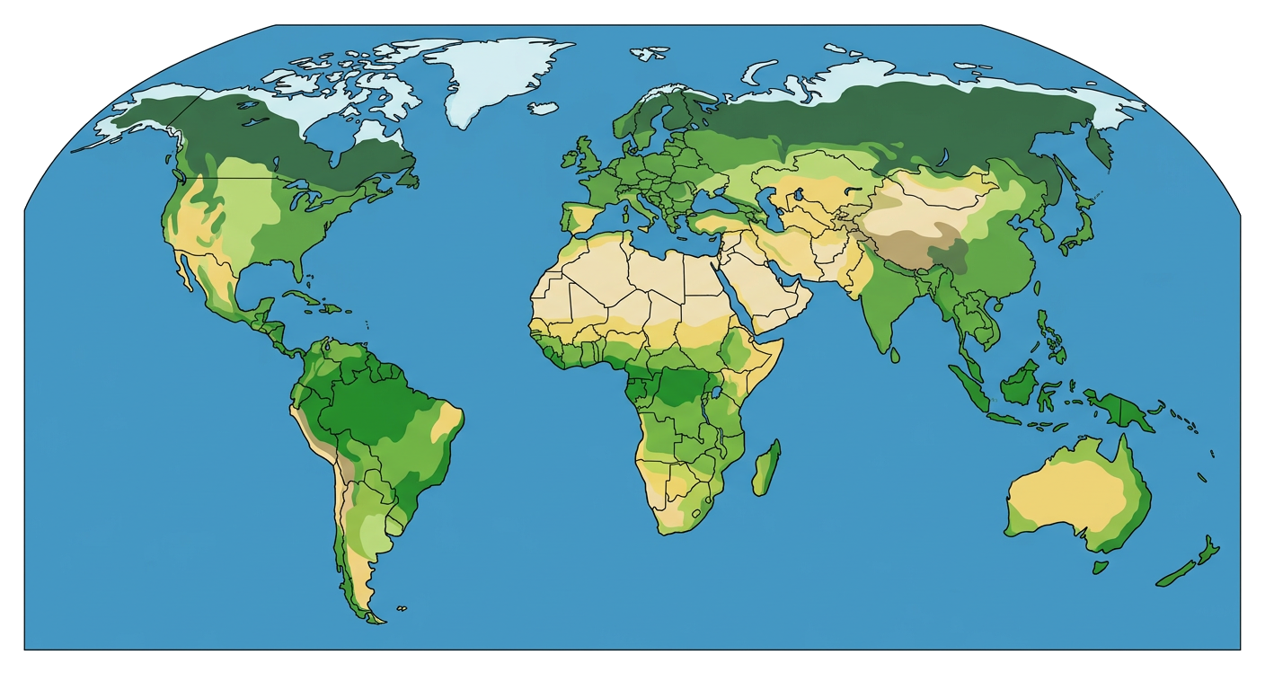
9. Identify two examples of physical boundaries visible on the map and explain how they influence human activity or political divisions.