Meridians and Parallels Worksheet
Explore the concepts of meridians (lines of longitude) and parallels (lines of latitude) and their importance in geography and navigation.
Includes
Standards
Topics
Meridians and Parallels
Name:
Date:
Score:
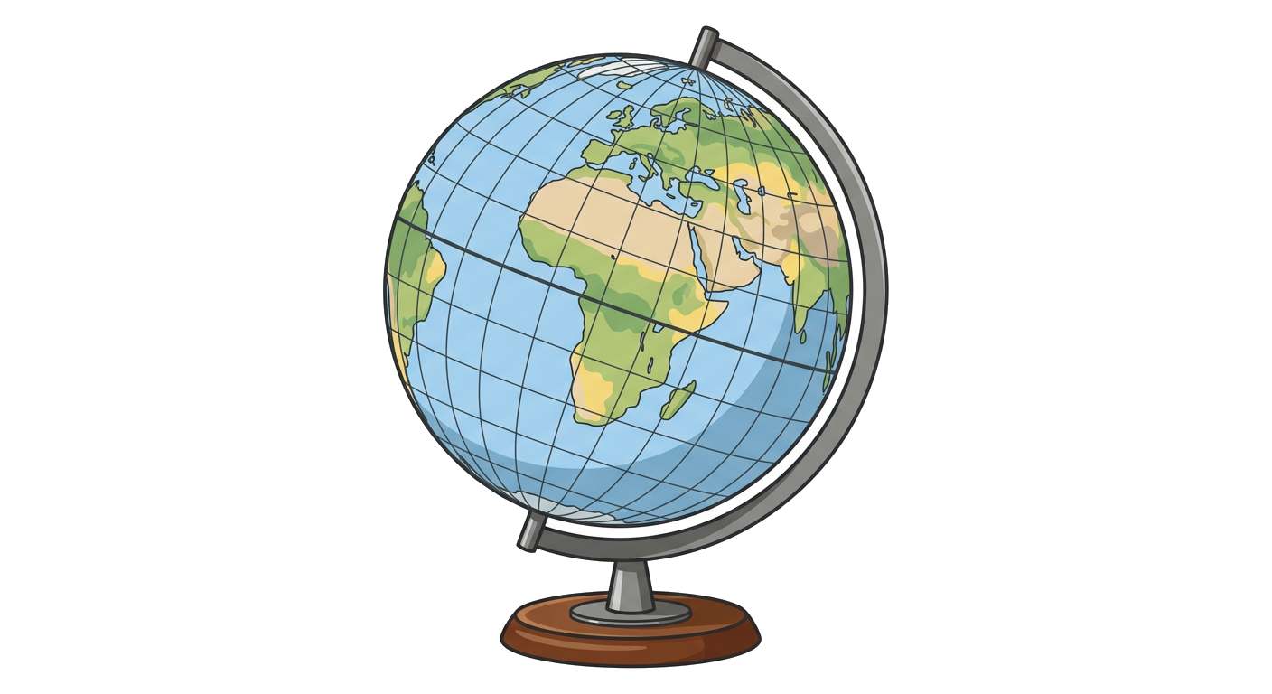
Read each question carefully and provide thoughtful answers. Use the provided image to help answer questions where applicable.
1. Which lines run from the North Pole to the South Pole?
Parallels of Latitude
Meridians of Longitude
Equators
Tropics
2. The imaginary line that circles the Earth halfway between the North and South Poles is called the:
Prime Meridian
Tropic of Cancer
Equator
International Date Line
3. Lines of latitude are also known as .
4. The Prime Meridian passes through , England.
5. The is 0 degrees latitude.
6. All meridians are of equal length.
True
False
7. The Tropic of Capricorn is located in the Northern Hemisphere.
True
False
8. Explain the difference between latitude and longitude.
9. Why is the Prime Meridian significant?
10. Observe the globe below. Identify and label the Equator and Prime Meridian on the image. Then, mark a location that would have coordinates approximately 40°N latitude and 100°W longitude.
Match each term on the left with its description on the right.
11. Arctic Circle
a. 23.5° S latitude
12. Tropic of Cancer
b. 66.5° N latitude
13. Tropic of Capricorn
c. 23.5° N latitude