Understanding Time Zones
A worksheet for Grade 9 Social Studies students to understand the concept of time zones, prime meridian, and international date line.
Includes
Standards
Topics
Understanding Time Zones
Name:
Date:
Score:
Read each question carefully and answer to the best of your ability. Some questions may require you to refer to a world map or your knowledge of time zones.
1. How many degrees of longitude generally represent one hour of time difference?
10 degrees
15 degrees
20 degrees
30 degrees
2. What is the approximate longitude of the International Date Line?
0 degrees (Prime Meridian)
90 degrees East
180 degrees
90 degrees West
3. The imaginary line that runs from the North Pole to the South Pole through Greenwich, England, and serves as the 0-degree longitude is called the .
4. When you cross the International Date Line heading west, you a day.
5. Countries often adjust their time zones to align with political or geographical boundaries, which can lead to time zones.
6. All countries strictly adhere to time zones that are exact multiples of 15 degrees longitude.
True
False
7. The concept of time zones was developed primarily to standardize time for railway schedules and international communication.
True
False
8. Explain why the International Date Line is not a straight line across the globe.
9. If it is 10:00 AM on Monday in London (Greenwich Mean Time, GMT), what time and day would it be in New York City (GMT-5)?
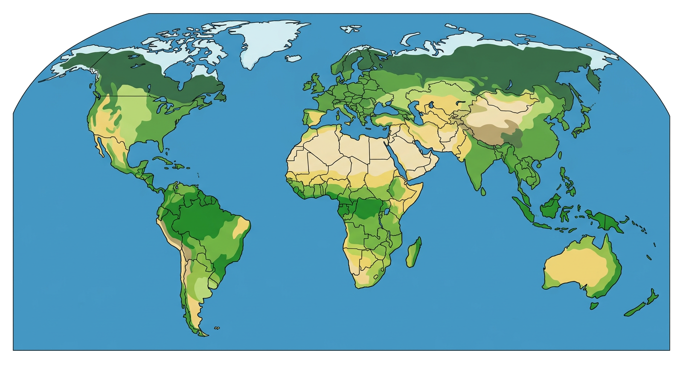
10. Observe the world map below, which illustrates different time zones. Based on your understanding, identify two countries that have multiple time zones and briefly explain why.